![]()
Credits
The licensor/author has licensed the the use of the pictures under the condition of the CC License Agreement mentioned:
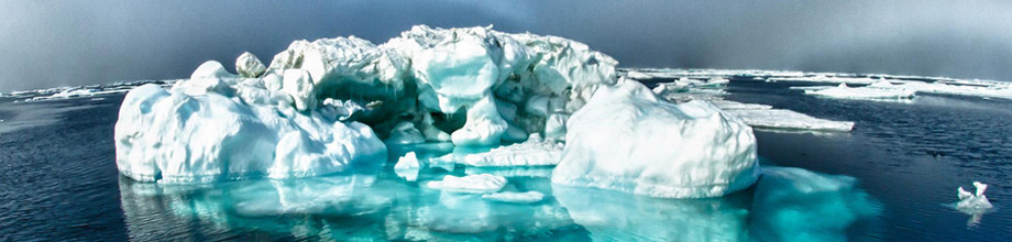
Title: Iceberg
Description: An iceberg captured on camera during a 30-day mission in 2012 to map areas of the Arctic aboard the NOAA Ship Fairweather.
URI: www.flickr.com/photos/usoceangov/8290528771/in/photostream
Licensor/Author: NOAA's National Ocean Service
License: http://creativecommons.org/licenses/by/2.0/
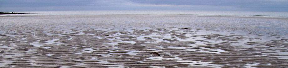
Title: Ripples in the Sand
Description: East Coast of Scotland at a spot called Pease Bay.
URI: www.flickr.com/photos/usoceangov/5818265870/in/photostream/
Licensor/Author: Iain Smith / NOAA's National Ocean Service
License: http://creativecommons.org/licenses/by/2.0/
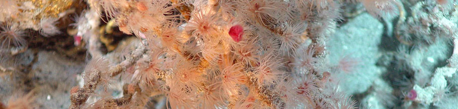
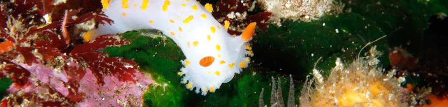
Title: Colorful Nudibranch
Description: Colorful nudibranch (Shell-less mollusk) at Cordell Bank National Marine Sanctury
URI: www.flickr.com/photos/usoceangov/5809252621/in/photostream
Licensor/Author: Greg McFall / NOAA's National Ocean Service
License: http://creativecommons.org/licenses/by/2.0/
Title: Seastar and Reef Habitat
Description: Seastar and colorful reef Habitat at Gray's Reef National Sanctury, Savannah, Georgia.
URI: www.flickr.com/photos/usoceangov/5809802798/in/photostream
Licensor/Author: Greg McFall / NOAA's National Ocean Service
License: http://creativecommons.org/licenses/by/2.0/
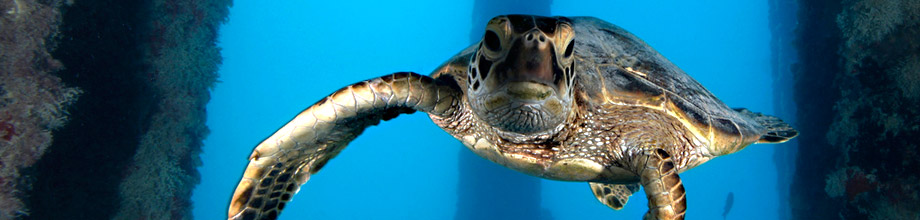
Title: Green Sea Turtle
Description: Juvenile green sea turtle underneath the Midway Island Pier in the Papahānaumokuākea Marine National Monument.
URI: www.flickr.com/photos/usoceangov/5809223173/in/photostream
Licensor/Author: Greg McFall / NOAA's National Ocean Service
License: http://creativecommons.org/licenses/by/2.0/
Title: Coral
Description: Location Unknown.
URI: www.flickr.com/photos/usoceangov/5794208753/in/photostream
Licensor/Author: Abdu Vuai / NOAA's National Ocean Service
License: http://creativecommons.org/licenses/by/2.0/
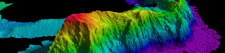
Title: Seamount
Description: A map of a seamount in the Arctic Ocean created by NOAA's Office of Coast Survey by gathering data with a multibeam echo sounder.
URI: www.flickr.com/photos/usoceangov/5369581627/in/photostream
Licensor/Author: National Ocean Service Image Gallery / NOAA's National Ocean Service
License: http://creativecommons.org/licenses/by/2.0/
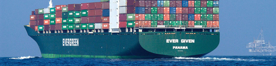
Title: Container Ship
Description: With NOAA's predicted, real-time, and forecasted currents, people can safely dock and undock ships, maneuver them in confined waterways, and safely navigate through coastal waters. This helps to avoid ship collisions or delay the arrival of goods.
URI: www.flickr.com/photos/usoceangov/5369581593/in/photostream
Licensor/Author: National Ocean Service Image Gallery / NOAA's National Ocean Service
License: http://creativecommons.org/licenses/by/2.0/
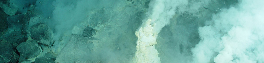
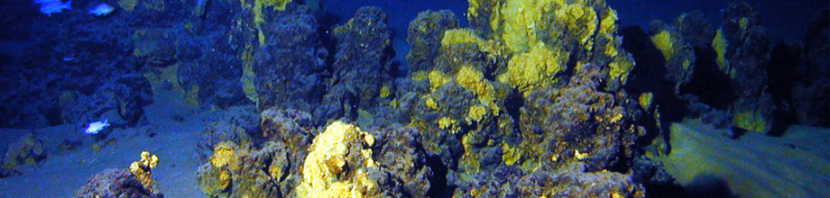
Title: expl0036
Description: Pacific Ring of Fire Expedition. White chimneys at Champagne vent site, NW Eifuku volcano. The chimneys are ~20 cm (8 in) across and ~50 cm (20 in) high, venting fluids at 103§C (217§F). Notice the bubbles in the upper left side of the image. Mariana Arc region, Western Pacific Ocean. April, 2004.
URI: www.flickr.com/photos/noaaphotolib/5014973927/
Licensor/Author: Pacific Ring of Fire 2004 Expedition. NOAA Office of Ocean Exploration; Dr. Bob Embley, NOAA PMEL, Chief Scientist / NOAA's National Ocean Service
License: http://creativecommons.org/licenses/by/2.0/
Title: expl0048
Description: Pacific Ring of Fire Expedition. A close up view of tubeworms at a seafloor hot spring on Daikoku volcano. These animals only live at hydrothermal vents. Mariana Arc region, Western Pacific Ocean. April, 2004.
URI: www.flickr.com/photos/noaaphotolib/5014882991/
Licensor/Author: Pacific Ring of Fire 2004 Expedition. NOAA Office of Ocean Exploration; Dr. Bob Embley, NOAA PMEL, Chief Scientist / NOAA's National Ocean Service
License: http://creativecommons.org/licenses/by/2.0/
Title: expl1837
Description: Iron and silica rich chimneys on the summit of Giggenbach volcano are evidence of warm springs that were active at this site in the past. New Zealand, Kermadec Arc. April 18, 2005.
URI: www.flickr.com/photos/noaaphotolib/5014973995/
Licensor/Author: New Zealand-American Submarine Ring of Fire 2005 Exploration; NOAA Vents Program / NOAA's National Ocean Service
License: http://creativecommons.org/licenses/by/2.0/
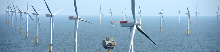
Title: Havvindparken Sheringham Shoal (Foto: Harald Pettersen/Statoil)
Description: Sheringham Shoal Offshore Wind Farm
URI: www.flickr.com/photos/nhd-info/8033151828/
Licensor/Author: Harald Pettersen/Staoil / NHD-INFO
License: http://creativecommons.org/licenses/by/2.0/